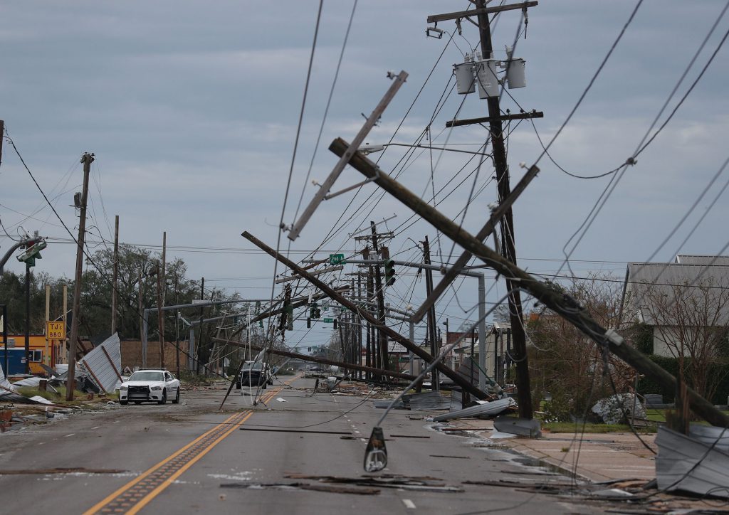
Developed primarily as a bird-dogging tool for storm or emergency situations, Damage Assessment allows crews to quickly and efficiently indicate damage locations by type and severity in the aftermath of a major event.
When linked to GPS, damage icons are placed precisely at the problem locations. With network connectivity, the office staff and field crews can be regularly updated as damage is discovered and evaluated. This allows organizations to streamline communications within the organization at a time of potential crisis. At the conclusion of any declared event, information documented within Damage Assessment can be easily sorted and reported upon. Partner can even build customized reports for FEMA, other government agencies, insurance or other needs that can be generated with the click of a button.


