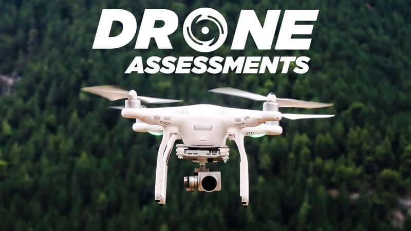
Partner Software and the utility industry at large are exploring the inspection and distribution potential of remote controlled drones. The applications are broad and its accessibility make it a safer alternative to sending linemen into unknown locations. At Partner the two areas of immediate use would fall to the areas of Distribution Inspection and Damage Assessment.
Consider any situation in which the terrain is difficult either due to damage, or landscape inaccessibility. Other obstacles might include vegetation or private property boundaries. Standard procedures might delay work while right of way permission is sought and debris or vegetation is being cleared, but with a trained drone operator the work can begin within minutes.
This reduces the risk to crew members, but also provides data quicker than a standard ground team. The smaller proportions of a remote controlled drone is much more efficient than assessing through climbing poles, or using bucket lifts. A drone can help troubleshoot areas in damage assessment situations and give crews an advantage over a slower manual clean up and survey.
There is also an opportunity to inspect without needing to shutdown a substation. This process can sometimes lead to customers losing power while infrastructure is being examined, but drones can handle this inspection safely without a service interruption.
Drones offer an advantage with getting over private property to review overgrown spaces in residential areas. Also roadside inspections can be done without slowing down traffic flow with bucket trucks and ground crews.
Recently, Partner Software has collaborated with Software Platform Beyond the Drone. Beyond the Drone’s UTELinspect platform offers utility inspection management and flight operations management in one application.
UTELinspect gives you the tools to manage, assess & report in real time, bringing together all needed information in a central location.
Some applications include.
Flight Management
- Scheduling for In-house/service provider teams
- Crew availability, credentials, skill levels
- Equipment availability and condition
- Flight planning
- Risk assessment tools
- Compliant emergency plans
- Regulatory compliance logs
Inspection Management
- Ability to monitor inspection in real-time
- Structure-centric Image repository that automatically assigns image(s) to structure
- Connection with Partner’s mapping system
- Integration with most third-party platforms
- On-demand user-defined reports
- Configurable condition assessment
- Emergency inspection capabilities
Contact Partner Software today to discuss possible drone integrations with your utility.

